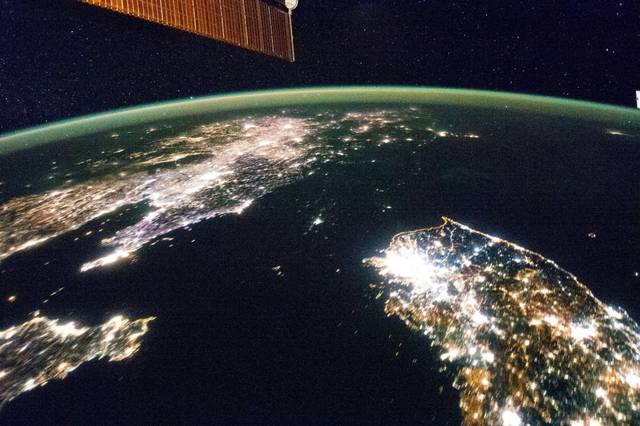
Satellite Images Can Help Track Poverty: Research
Smartphones have taken one more giant leap and now it will help in keeping track of crop conditions, illegal deforestation as well as poverty across the globe with the help of thousands of satellites orbiting Earth.
Stanford University researchers said they have developed an efficient way to provide invaluable information to humanitarian organizations, watchdog groups, and policymakers through smartphones. They have created a deep-learning algorithm to help recognize signs of poverty in satellite images like by tracking condition of roads.
Details of the development are published in the latest edition of Science journal.
A graduate student in electrical engineering at Stanford University, Neal Jean, said most of the satellite images are not labelled and so the problem is figuring out how to extract useful information from the unstructured data.
If it is nailed down how to do it, the researchers added it would be a boon for international efforts in the tracking of poverty as well as taking stock of general economic conditions of the globe.
Harvard University economics professor Sendhil Mullainathan said, “Satellite photos provide a level of geographic specificity that national accounts do not.”


